Site Information
The Yahara
River starts at
the south
of Columbia
County;
it flows southward toward the village
of Deforest and
the village
of Windsor.
Then, it
flows into the Cherokee Marsh complex before discharging into Lake
Mendata. The
total length
of the Yahara
River
is 127 miles. The
portion of the Yahara
River included in
our
targeted area is 4 miles long and the width vary between 0.18 miles to
0.9
miles.. The drainage are of our targeted area is approximately 8 square
miles
or around 2 % of the Lake
Mondata
watershed. A
number of jetties and two bridges are inclued into our study site. Two
USGS
stream gages are within the defined bounds of the site ( gage #
05427718 and
gage # 05427810).The mouth of the river widens gradually once it meet
with Lake
Mendota forming Yahara outlet.
Site layout is shown by the two following figures:
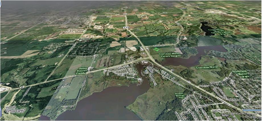
Figure 1: Site layout by Micosoft Virtual Earth
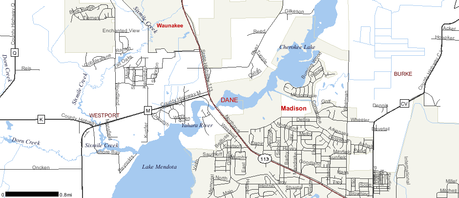
Figure 2: Site lay out by Surfae Water Data Viewer
Back
Next
Home