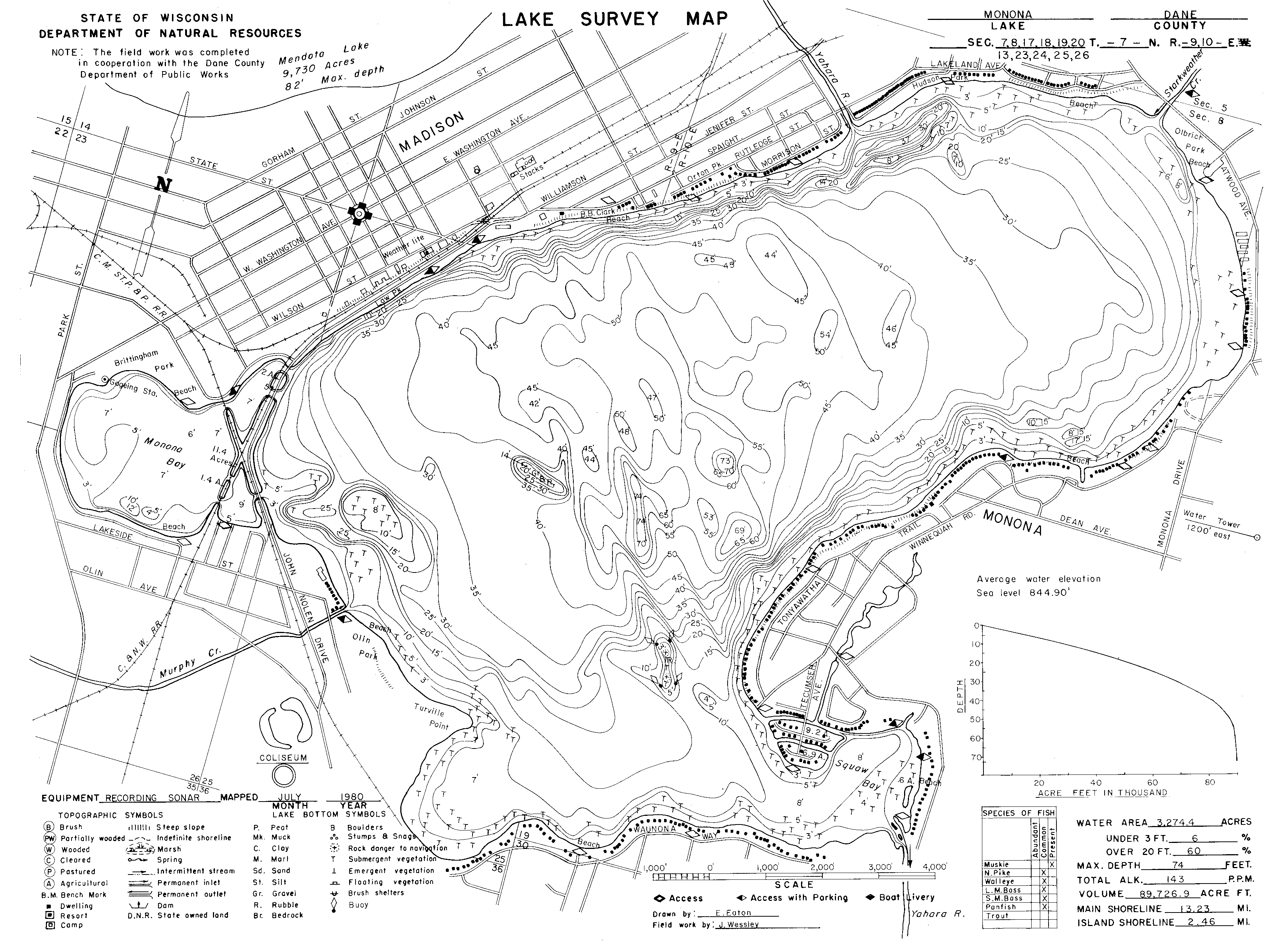
BATYHMETRY DATA
Accurate Bathymetric Data is a necessary component to any mathematical model. Bathymetry data for Lake Monona was conducted by digitalizing a lake survey map provided by the DNR. The initial digitalizing was done by Chris Petykowski. Since the creation of the Lake Survey map, Monona Bay has been altered in its bathymetry. The bay was surveyed by the City of Madison Engineering Division in 2005 and 2006 WRM Practicum. The data from the two sources was then combined together to form one cohesive bathymetric data file. Below are the two sources used for creation of the bathymetric data.
Lake Survey Map (http://www.dnr.state.wi.us/org/water/fhp/lakes/lakemap/0804600z.htm)
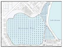
Sampling conducted by City of Madison Engineering Division in 2005 and 2006 WRM Practicum.